Cost-Effective Coastal Revolution: How CAP MA Wing Slashed Expenses, Mapped 10K Acres in Record Time
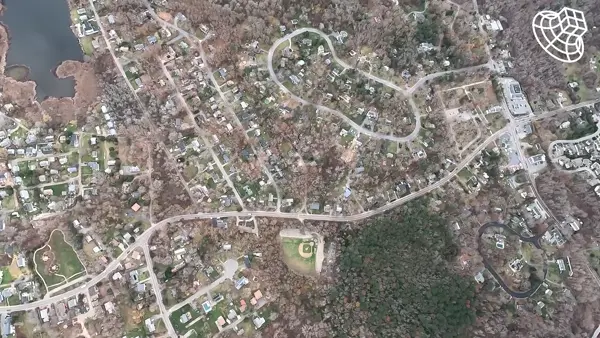
The Massachusetts Wing of Civil Air Patrol (CAP) achieved a groundbreaking milestone in coastal erosion assessment, mapping over 10,000 acres in just 45 minutes using SkyeBrowse's affordable technology—reducing costs by 90% compared to traditional methods.

The Challenge: Balancing Speed, Accuracy & Cost
Massachusetts's ever-changing coastline demands rapid, precise monitoring for effective disaster response. However, traditional surveying methods proved too slow and costly, with the agency spending over $200,000 annually on labor and equipment.
"We needed a solution that could deliver fast, accurate assessments without breaking the bank. SkyeBrowse's technology was the game-changer we were looking for."
— Captain John Roberts, Project Lead for CAP MA Wing
The Innovation: Cost-Effective Technology Integration
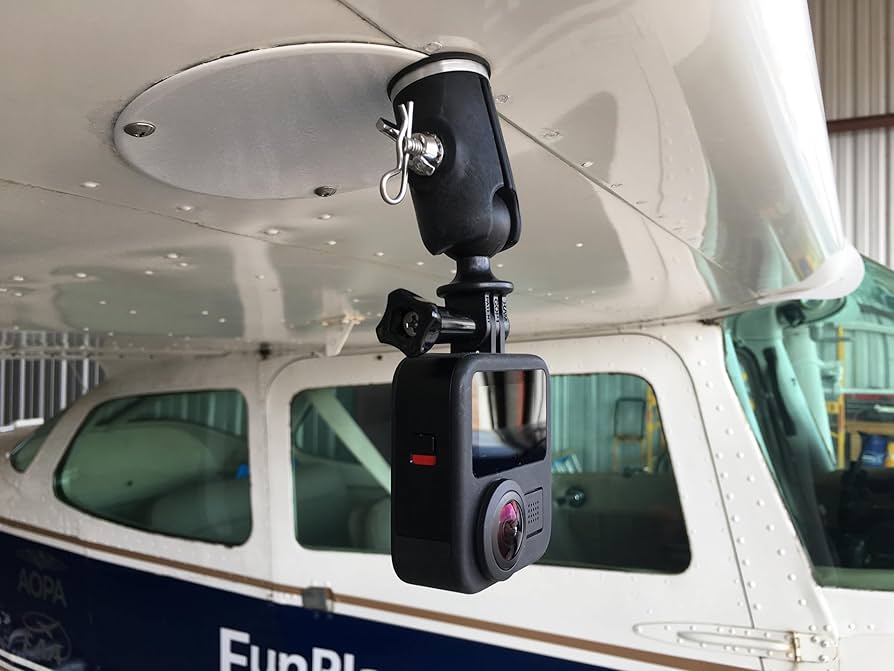
CAP MA Wing's solution merged traditional aviation assets with modern technology, resulting in dramatic cost savings:
- Hardware Savings: $200,000 eliminated in specialized camera equipment costs
- Software Savings: $100,000 reduction in processing software expenses
- Per-Acre Cost: Reduced from $120 to approximately $30 per acre
- Processing Time: Reduced from 48 hours to 45 minutes per mission
Financial Impact
- Equipment Investment: 90% reduction compared to traditional survey equipment
- Labor Efficiency: Saved approximately 160 labor hours in manual measurements
- Survey Costs: Reduced from $517 to $100 per survey on average
- Processing Costs: Eliminated need for specialized software licenses worth $100,000
Operational Efficiency
- Complete video capture in 23-minute flight
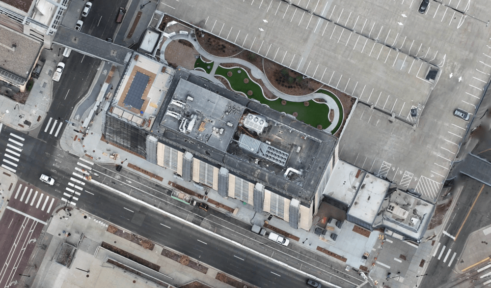
- Full 3D map generation in 45 minutes
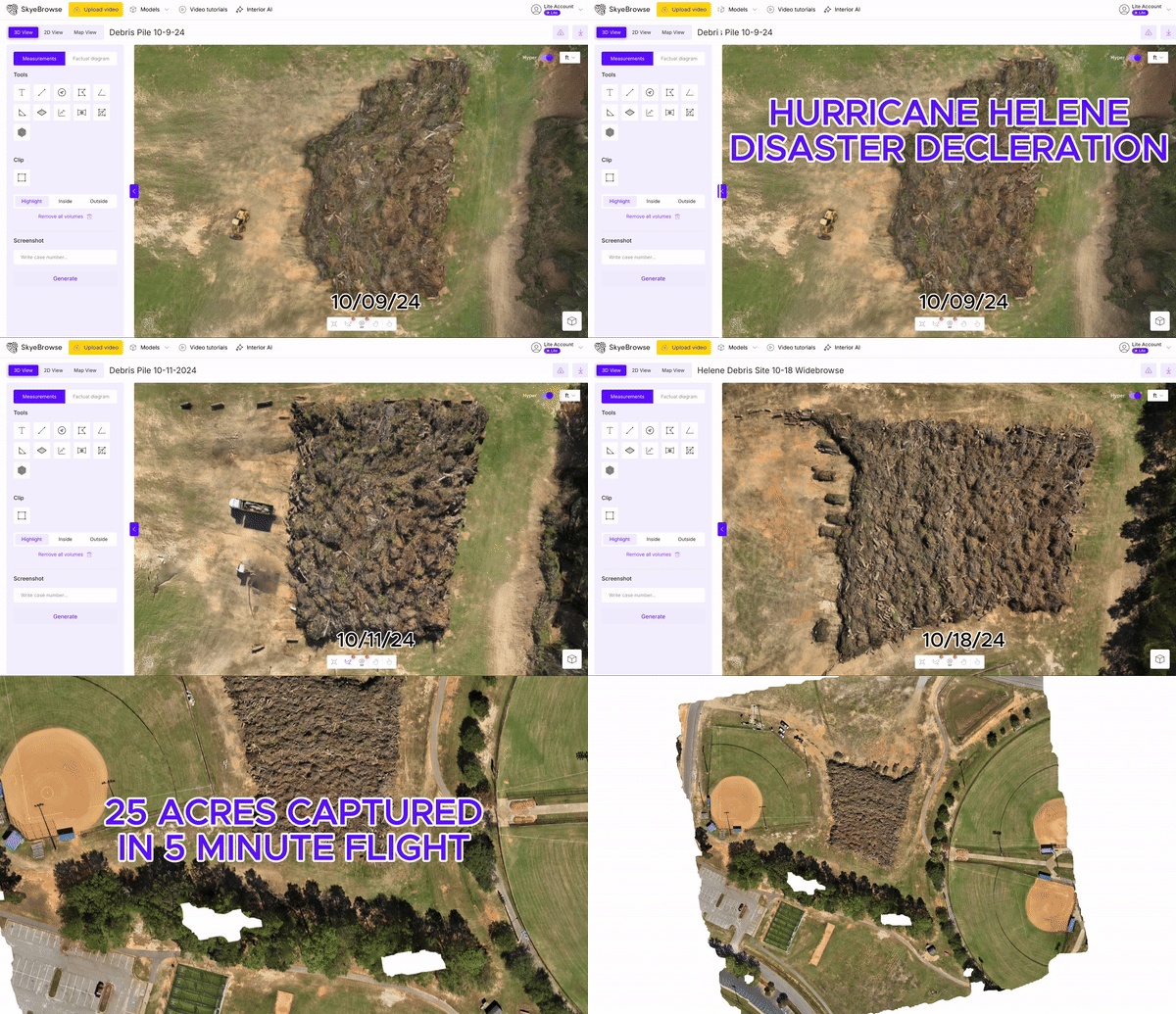
- Sub-cubic-yard accuracy for FEMA documentation
- Real-time progress tracking across all sites
Transforming Disaster Response & Coastal Monitoring
This cost-effective approach has revolutionized CAP MA Wing's capabilities:
- Rapid post-storm damage assessment
- Proactive erosion monitoring
- Enhanced emergency planning & response
- Improved resource allocation efficiency
"By adopting SkyeBrowse's affordable technology, we've not only dramatically improved our response times but also freed up resources to better serve our coastal communities."
— Major Sarah Chen, Emergency Response Coordinator
Looking Ahead: Expanding Impact & Applications
The success of this initiative has paved the way for wider adoption and new applications:
- Regional erosion monitoring programs
- Post-disaster infrastructure assessment
- Coastal urban planning initiatives
- Climate change impact studies
Ready to Transform Your Department's Documentation Process?
Learn how SkyeBrowse can help your agency achieve similar results.
