Democratizing Reality Capture
Trusted by agencies that keep our country safe


Our cutting-edge software solutions
Universal Upload
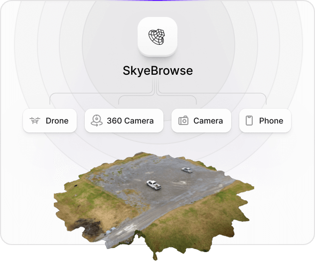
Create 2D maps and 3D models
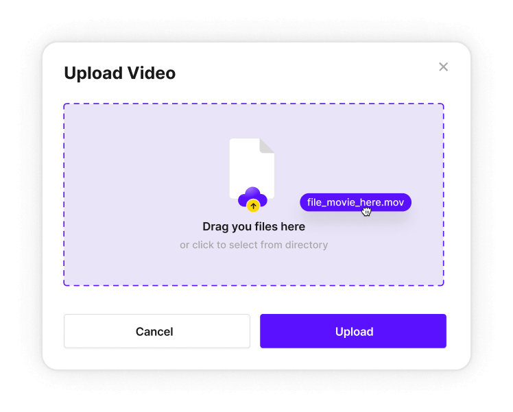
Blazing-Fast 3D Modeling
Read real reviews from our satisfied customers
I was very impressed by the ease of use. Great measurement accuracy and excellent customer service.
DFW Airport Police
So far it's really easy to use and much more user friendly than Pix4D
Oceanside Fire Department
This is a game changer. I wish this was developed 3 to 4 years ago.
Los Angeles District Attourney's Office

Lightning fast reality capture
is now at your fingertips.
Unparalleled speed meets uncompromised simplicity. Acquire centimeter accurate 3D models in 1 tap.
The Best Drone Software for First Responders.

Emergency response made
faster, safer, and smarter.
Multiple products for your needs, including 2D/3D Modeling, Sketch Drawings, Interior Maps, Thermal Maps, Night Ops AI, and more.

Make 3D models in
3 easy steps.
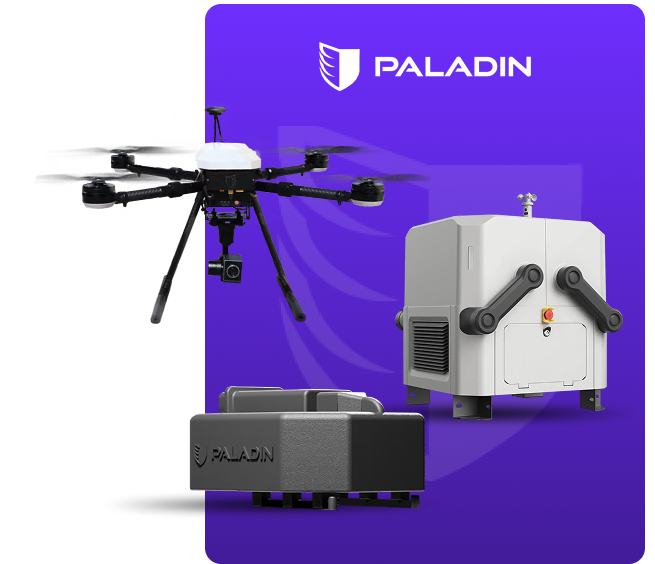
Redefining Drone Technology Together
Paladin, known for its cutting-edge anti-drone systems and security innovations, is joining forces with SkyeBrowse, the pioneer in AI-powered 3D mapping and videogrammetry. Together, we aim to deliver unparalleled precision, efficiency, and safety in drone applications across industries.
Unprecedented situational awareness for first responders in mission critical scenarios.
1
minute
Average capture time
2
minutes
Average processing time
1,000+
departments trust SkyeBrowse
Since 2020
40,000+
end users and subscribers
And growing daily!
20+
models have gone through court
With no questions asked
Discover Your Savings with SkyeBrowse!
Calculate your accident investigation savings. Find out how much you can save on time and resources with just a few clicks.
Our Partners
Our partners build technology and software that help work more effectively.